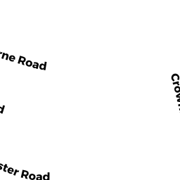
18 OSBORNE RD
Owner Information
COX CHAD W & ABIGAIL S
18 OSBORNE RD
BROOKLINE, MA 02446


Property Details
18 OSBORNE RD is classified as a Single Family Residential (Victorian).
The primary structure on this property was built in 1895. There is 3,534ft2 of residential/living space within this property. This property is listed as having 10 rooms.
18 OSBORNE RD is valued at $1,958,100. The land is valued at $913,600 and the structures are valued at $1,044,500.
This property is in Zone T-5. Confirm with local Zoning Board authorities to ensure there are no overlays or other easements on this property.
The most recent deed for 18 OSBORNE RD is recorded at the local registrar in Book 24215, Page 148. 18 OSBORNE RD was last sold on Monday, October 30, 2006 for $1,000,000.
Assessment data from fiscal year 2021.
Flood Data
According to the FEMA National Flood Hazard Layer, this property does not appear to be in a flood zone. It may also be in an area not yet reviewed. Nonetheless, confirm this information prior to taking any action.
To view the flood hazards around this property, create a FEMA "Firmette" Map of the area around 18 OSBORNE RD.
Broadband Internet Providers
| Provider | Type | Bandwidth (mbps) | |
|---|---|---|---|
| Starry, Inc. | Fixed Wireless | 200 | 200 |
| T-Mobile | Fixed Wireless | 25 | 3 |
| netBlazr Inc | Fixed Wireless | 50 | 50 |
| RCN | Cable | 1000 | 20 |
| RCN | Cable | 500 | 20 |
| Comcast | Cable | 1000 | 35 |
| Verizon New England Inc. | DSL | 10 | 1 |
| Viasat Inc | Satellite | 100 | 3 |
| GCI Communication Corp. | Satellite | 0 | 0 |
| HughesNet | Satellite | 25 | 3 |
| VSAT Systems, LLC. | Satellite | 2 | 1 |
Broadband service provider data from December 2020.
Adjacent Properties
- 12 OSBORNE RD
Two-Family Residential owned by PARRISH TRS BYRON N & KATHLEEN M - 22 OSBORNE RD
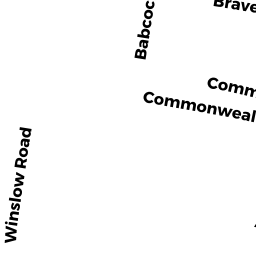
Two-Family Residential owned by RODRIGUEZ TR YOLANDA M - 41 WINSLOW RD 6
Residential Condominium owned by WONG JOCELYNE W - 41 WINSLOW RD 2
Residential Condominium owned by BROWN ELEANOR - 41 WINSLOW RD 3
Residential Condominium owned by BROWN ELEANOR - 41 WINSLOW RD 4
Residential Condominium owned by HEALEY DENNIS - 41 WINSLOW RD 5
Residential Condominium owned by ZIMETBAUM TR PETER J - 41 WINSLOW RD 7
Residential Condominium owned by GONNELLA SUSAN - 41 WINSLOW RD
Condominium owned by WINSLOW 41 TRUST - 41 WINSLOW RD 1
Residential Condominium owned by FRANK ROSEMARY E